Over two decades, Google Earth has accidentally captured dozens of objects that break the usual logic of researchers. Among them: huge signs in the steppes, lakes of unsettling colors, and patches of land that vanish from maps without a trace. We looked at the most talked-about satellite anomalies and tracked down what they really are: from pentagrams in Kazakhstan to a strange island that disappears from the charts.
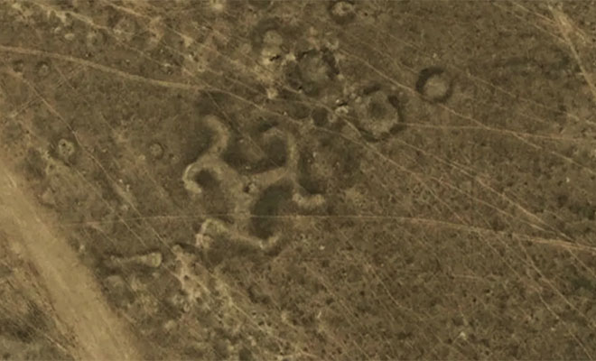
A pentagram in Kazakhstan
In the steppes of Central Asia, satellites have found more than fifty large-scale geoglyphs. One that stands out is a solar-symbol form in northern Kazakhstan, built from earthen mounds around two thousand years ago.
Another unusual find is the outline of a giant five-pointed star 366 meters across near the Verkhnetobolskoye reservoir.
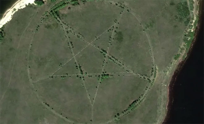
A closer look showed it was an unfinished Soviet park whose paths were laid out in the classic star shape.
An island fractal in the Philippines
A rare natural recursion long drew researchers to Luzon in the Philippines. Inside Taal crater lake sits Volcano Island, which in turn hides its own small lake with a tiny scrap of land inside.
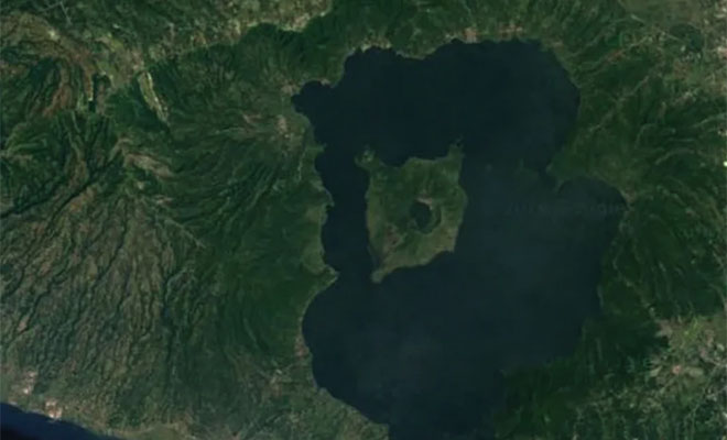
For a while this spot was treated as the only fractal like it on the planet. Cartographers later found a similar, much larger, and uninhabited lake-and-island maze in remote northern Canada.
Unexcavated pyramids in Egypt
Satellite maps gave digital archaeology a real push. In Egypt, Google Earth has helped spot many sand-covered anomalies with clean geometric shapes.
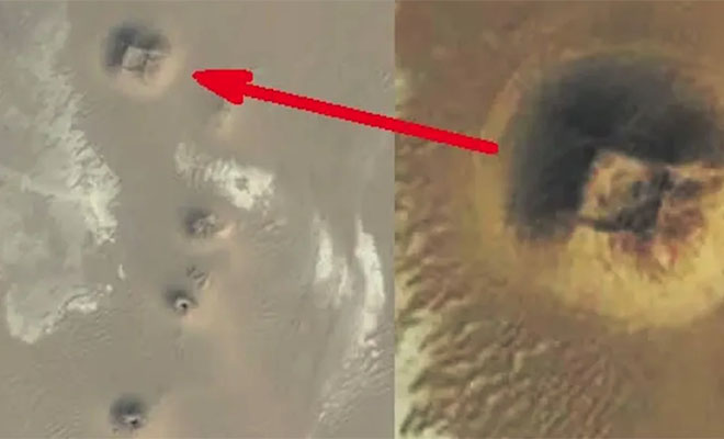
Experts still disagree about what they are. Some see ordinary rock formations shaped by erosion; others want full digs to hunt for unknown ancient monuments.
The Sandy Island phenomenon
In 2012 a team of Australian scientists set out for Sandy Island in the southern Pacific, which for years showed on maps as a dark polygon.
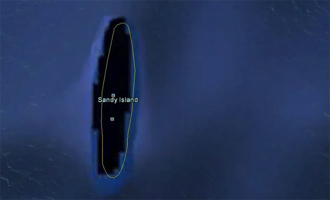
At the exact coordinates they found only open water several kilometers deep. The ghost island on older charts was most likely a long-ago navigation error, or a giant raft of volcanic pumice drifting after an eruption.
Land art and colored lakes
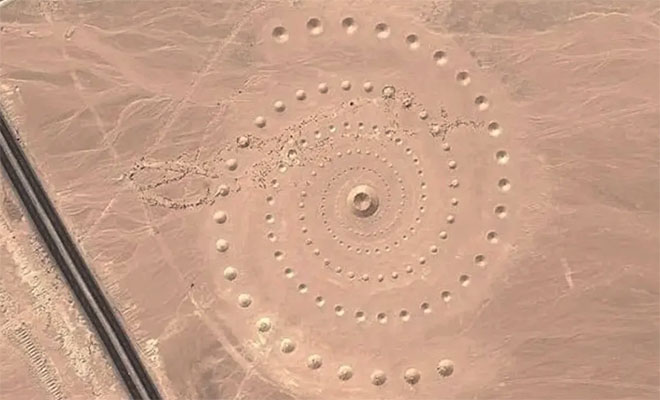
Not every odd object in the imagery is natural. In the Egyptian desert by the Red Sea you can clearly see a huge spiral covering about 100,000 square meters. That is Desert Breath: a large art installation made by Greek creators in 2007.
A shot from Iraq raises more questions: on the edge of Sadr City, satellites caught a lake of unnatural blood-red color. No official geological explanation has been offered so far.
Geometric patterns in the Grand Canyon
Zoom hard into the north rim of the Grand Canyon and you notice a strange, even scatter on the ground. Against theories of human engineering, the pattern turned out to be the work of large red harvester ants.
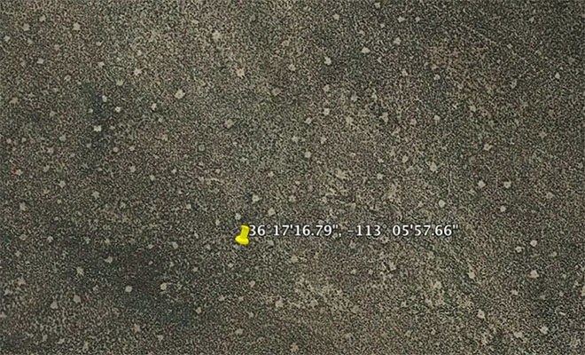
The insects build mounds up to a meter across and clear all plants around them, leaving a clean geometric design visible even from orbit.
The dark blot of Vostok Island
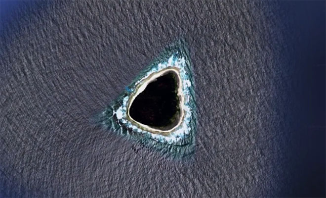
The uninhabited coral atoll of Vostok in the Pacific long appeared on Google maps as a solid black blot, feeding rumors of secret military bases. There was no censorship.
The island’s center is thick with Pisonia trees whose leaves reflect very little light. From above the canopy looks like a monolithic dark mass, and satellite image compression turned it into a deep black hole.